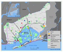
GIS or Geographic Information System is a set of processes used to gather, analyzed, and map spatial data. The Institute provides those services to organizations, individuals, and companies. To the right is a brief overview of what is GIS?
Examples of Maps produced from ESRI ArcGIS Pro software